


By David LaGuerre
Mohawk Valley Voice
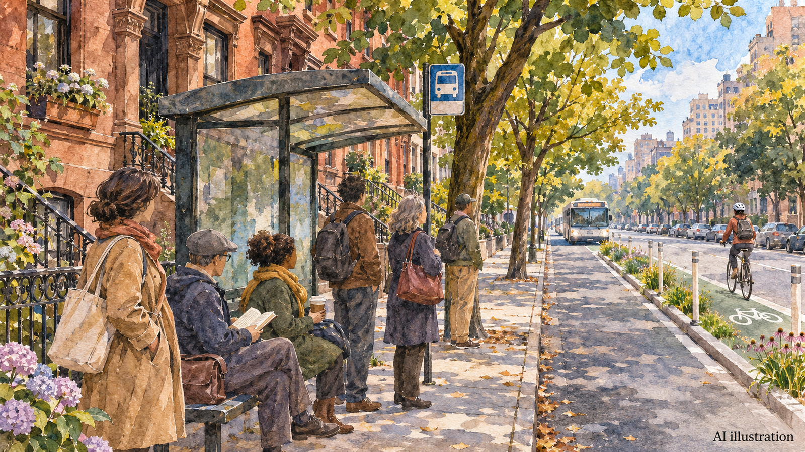
Featured image: AI-generated editorial illustration of a bus and protected bicycle lane on a Brooklyn-style street. Not a project design or documentary photograph. Illustration: Mohawk Valley Voice/OpenAI.
New York City has started construction on a redesign of DeKalb and Lafayette avenues intended to improve B38 bus travel and provide safer routes for people walking and cycling across Brooklyn.
Mayor Zohran Kwame Mamdani and Transportation Commissioner Mike Flynn announced the work November 5. The city says the B38 carries about 18,000 daily riders. The project covers DeKalb Avenue between Broadway and Flatbush Avenue, and Lafayette Avenue between Ashland Place and Patchen Avenue.
The announcement describes new bus lanes, protected bike lanes and other street-safety changes along the two corridors. These are construction plans and intended benefits, not a report that travel times have already improved.
The mayor’s release places the project within the city’s broader bus-improvement partnership with the state and the Metropolitan Transportation Authority. The streets connect Downtown Brooklyn with neighborhoods including Bedford-Stuyvesant and Bushwick.
Why this corridor was selected
A September presentation to Brooklyn Community Board 3 describes the corridor’s combination of heavy bus use, slow travel and street-safety problems. In its study area, within a quarter-mile of the B38, 62 percent of households lacked a car. It reported that 80 percent of residents’ commutes used transit, walking or cycling.
The proposal called for different street layouts on different blocks, including curbside bus lanes, offset lanes and protected cycling space. It proposed weekday hours for curbside lanes and round-the-clock operation for offset lanes. Drivers should follow the installed signs rather than treating an earlier proposal as the final rule on every block.
The presentation planned installation for fall 2026, followed by winter monitoring and further study in spring 2027. That sequence makes performance after installation part of the work, not an assumed result.
A citywide plan with measurable goals
The city’s Next Stop bus action plan targets 50 priority corridors and lists 28 projects for advancement in 2026. Its goals include a 20 percent increase in bus speeds and reducing additional waits beyond the schedule to under two minutes.
Those targets apply to the broader program. They should not be read as a promise that every B38 rider will save the same amount of time, or that the specific DeKalb and Lafayette project has already achieved a 20 percent improvement.
The plan also addresses the experience at stops. It calls for better accessibility and, where feasible, seating, shelters, shade and real-time passenger information. It pairs infrastructure with enforcement and public education intended to keep bus lanes and stops usable.
DeKalb and Lafayette are listed among the priority corridors, alongside projects across all five boroughs. A bus trip can be affected by conditions along the route, at the stop and at transfer points, so the plan covers more than pavement markings.
How to read the changes as work proceeds
The city’s pedestrian-project directory links the DeKalb and Lafayette materials, including community-board presentations from 2024 and 2026. It describes the effort as a joint DOT and MTA project addressing bus service and pedestrian and cyclist safety.
For residents and businesses, the detailed documents are more useful than a single rendering when checking a particular block. A protected bicycle lane, a curbside bus lane and an offset bus lane use street space differently. The proposal itself varies the treatment along the route, which is why one illustration should not be taken as a construction drawing for both avenues.
The November announcement establishes that construction has begun. It does not provide a block-by-block daily work schedule or prove a change in crash rates. Those questions require later implementation notices and measured results.
This is a Brooklyn transportation project. References in the citywide plan to Utica Avenue also mean the Brooklyn street, not the City of Utica. Mohawk Valley readers traveling to the city should distinguish those locations when checking transportation updates or arranging a connection.
The most useful follow-through will compare the installed design with the published plan and examine bus speeds, reliability and safety after the changes have had time to operate.